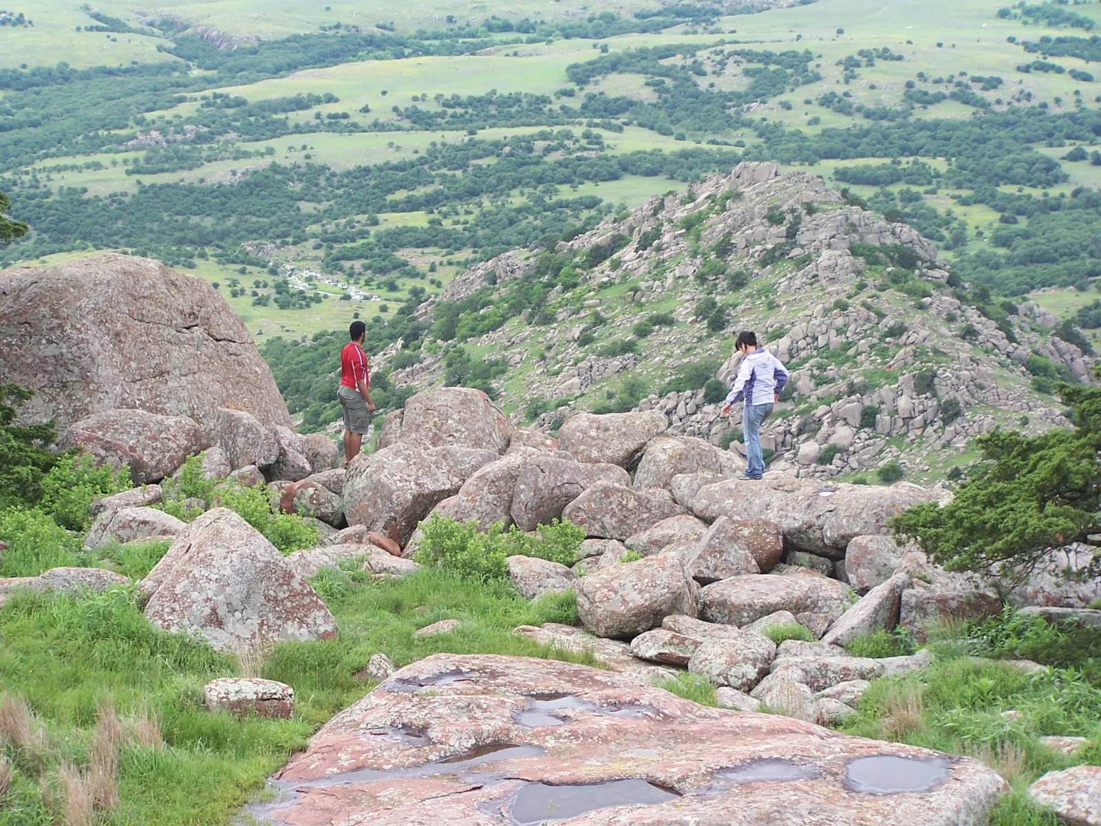
Choose a Wichita Mountains hike from the official trail directory and map, then let live conditions make the final decision. The brochure labels its listed distances as approximate one-way mileage; do not double a number automatically unless the route truly returns by the same path. FWS does not publish dependable hike times or elevation-gain figures, so this guide does not invent them. At this update, hiking is restricted to sunrise–10 a.m. and everyone must be off trails and the Mount Scott roadway by 10. Bring water, expect exposed terrain, and turn around early enough to meet the closure.
What controls the trail plan today?
The live FWS visitor page controls. An extreme-heat order currently limits hiking to sunrise–10 a.m., closes all hiking after 10, and suspends backcountry camping. A trail’s evergreen description may still say it is open year-round; that language does not override a temporary safety order. Check fire restrictions too: Recreation.gov currently prohibits wood-burning fires and limits charcoal and gas grills to designated areas.
Jed Johnson Tower Trail: 0.5 mile, Easy
This official route begins at the Jed Johnson Lake parking area and uses dirt, gravel, and rock along the shoreline. FWS explicitly describes it as kid-friendly. The destination is the tower area and lake view, not entry into the structure: the observation tower is closed to the public. “Easy” describes the refuge’s rating, not the heat or every visitor’s ability.
Little Baldy Trail: 0.8 mile, Moderate
Beginning around the Quanah Parker Lake dam, Little Baldy climbs over gravel, rock, and dirt to an overlook. FWS notes elevation gain and scrambling, which makes this a different choice from the short lake paths even though its mileage is modest. Use footwear with traction, keep hands free for the rocky sections, and avoid marketing it as universally suitable for young children.
Narrows Trail: 0.8 mile, Moderate
The Narrows route begins at the Boulder Cabin Picnic Area and crosses loose gravel and rock beside a seasonal stream. Water and rock conditions can materially change the footing. The Narrows is not a rappelling destination; FWS specifically prohibits rappelling there. Stay on the authorized route and do not enter caves, mines, tunnels, or closed features.
Kite Trail: about 1.1 miles, Moderate
Kite Trail follows a canyon rim between the Lost Lake and Boulder areas, with views toward Forty Foot Hole. The current FWS trail page rates it Moderate while the older official brochure rates it Easy. This guide uses the more cautious current rating and discloses the conflict. Terrain, heat, stream conditions, and the return route still matter more than a single word on a table.
Elk Mountain and Charon’s Garden: Difficult routes
Elk Mountain Trail is listed at 1.1 miles and Difficult, with rock, dirt, gravel, and extensive stone stairs from Sunset Picnic Area. Charon’s Garden Trail is listed at 2.4 miles and Difficult, running from Sunset Picnic Area to Treasure Lake. FWS says through-hikers need a pickup plan; do not present it as a loop. These routes demand navigation, sufficient water, sturdy footing, and conservative turnaround judgment.
How do the French Lake connectors and longer routes fit?
Elk Trail is a 0.7-mile Easy route over dirt, rock, and gravel from French Lake parking into the Bison Trail system. Official FWS sources disagree on several longer routes: Bison Trail appears as 1.5 miles in one structured field, six miles in the page narrative and brochure, and 5.48 miles in the interactive GIS; its rating also differs. The safest current description is about 5½–6 miles of exposed trail with very little shade, without claiming one definitive grade. Longhorn Trail also has conflicting brochure and GIS lengths. Verify those routes with FWS before using them for distance-critical plans.
What belongs in every hiking plan?
Bring all drinking water, download the official map, tell someone the route, and build in exit margin. Cell service is spotty. Stay away from bison and longhorn, keep pets on a leash shorter than 10 feet, and never leave them in a vehicle. Park only on hardened designated surfaces. Drones and collecting are prohibited. Group-size limits apply to Mount Scott Roadway, Charon’s Garden Wilderness, and other high-use areas; organized groups should read the current rules before arriving.
Quick answers
Frequently asked questions
Are the listed distances round trip?+
The official brochure labels its distance column “One-way.” Route geometry varies, so use the official map rather than automatically doubling every figure.
Which trail has the best official accessibility information?+
FWS explicitly calls the paved Environmental Education Center Trail fully accessible and describes the connected Lake Elmer Thomas route as suitable for wheelchairs and strollers.
Can I hike for sunset right now?+
No. The current extreme-heat order closes hiking after 10 a.m. and requires all hikers off trails and the Mount Scott roadway by 10.
Sources & further reading
Accessed and reviewed Sep 10, 2026. Time-sensitive details should be confirmed at the source.
U.S. Fish & Wildlife Service — official trail directory↗U.S. Fish & Wildlife Service — interactive refuge map↗U.S. Fish & Wildlife Service — current visitor information↗U.S. Fish & Wildlife Service — refuge laws and regulations↗FWS — official map and regulations PDF↗