DestinationWichita Mountains Wildlife Refuge
A roughly 60,000-acre refuge west of Lawton with prairie, granite, lakes, wildlife watching, scenic roads, and an official trail network.
- Free refuge entry
- Day-use access is generally sunrise–sunset
- Live closures and weather rules control
A City of Lawton lake beneath Mount Scott used for boating, fishing, designated swimming, picnics, and camping.
- About 2,398 acres
- About 21 miles of shoreline
- City and state permits may apply
HikeJed Johnson Tower Trail
A short official refuge route to the area around the historic tower; the tower itself is closed to entry.
- Approx. 0.5 mile one way
- Easy — official rating
- Tower closed
HikeEnvironmental Education Center Trail
The refuge’s shortest listed trail, shown on the official map as an accessible route near the education center.
- Approx. 0.1 mile one way
- Easy — official rating
- Fully accessible — FWS description
HikeQuanah Parker Lake Trail
A short lakeside refuge trail; day visitors should remain outside the campground unless they are registered campers.
- Approx. 0.4 mile one way
- Easy — official rating
- Campground access is for registered campers
A short, rocky climb from the Quanah Parker Lake dam area to a granite overlook, including a modest scramble.
- Approx. 0.8 mile one way
- Moderate — official rating
- Rocky climb and overlook
An easy official refuge trail starting at the Osage Lake parking area and following lake-edge terrain.
- Approx. 0.6 mile one way
- Easy — official rating
- Lakeside terrain
A compact refuge route with prairie, lakeside, wooded, and rocky segments beginning at the Burford Lake lot.
- Approx. 0.5 mile one way
- Easy — official rating
- Mixed natural surfaces
A short but moderate canyon route from the Boulder Cabin Picnic Area over loose gravel and rock beside a seasonal stream.
- Approx. 0.8 mile one way
- Moderate — official rating
- Rappelling is prohibited
A canyon-rim route between the Lost Lake and Boulder areas with access toward Forty Foot Hole; use the current FWS rating.
- Approx. 1.1 miles one way
- Moderate — current FWS rating
- Official older map labels it Easy
An easy one-mile route shown on the official refuge map as accessible; current installation-area access should be confirmed before travel.
- Approx. 1 mile of connected paved trail
- Easy — official rating
- Wheelchair and stroller use listed by FWS
An easy official connector from French Lake parking toward the Bison Trail over dirt, rock, and gravel.
- Approx. 0.7 mile one way
- Easy — official rating
- Connects with Bison Trail
A difficult official route from Sunset Picnic Area over rock, dirt, gravel, and extensive stone stairs.
- Approx. 1.1 miles one way
- Difficult — official rating
- Rocky route with stone stairs
HikeCharon’s Garden Trail
A difficult Wilderness route from Sunset Picnic Area toward Treasure Lake; through-hikers need a pickup plan because it is not presented as a loop.
- Approx. 2.4 miles one way
- Difficult — official rating
- Permit and live-condition checks apply
A long, exposed refuge route whose official page, brochure, and GIS disagree on exact length and difficulty; verify with FWS before a distance-critical plan.
- About 5½–6 miles in official narrative, brochure, and GIS
- Official difficulty labels conflict
- Very little shade
AttractionMount Scott Scenic Roadway
A paved scenic route to the summit area within the refuge; weather, capacity, maintenance, and current heat rules can change access.
- Motor-vehicle access when open
- Roadway conditions can change
- Current heat order requires pedestrians off by 10 a.m.
AttractionWichita Mountains Wildlife Refuge Visitor Center
The refuge’s official orientation stop for exhibits, information, and trip planning; verify the posted schedule before leaving.
- Official refuge information
- Posted schedule can change
- No potable drinking water in the refuge
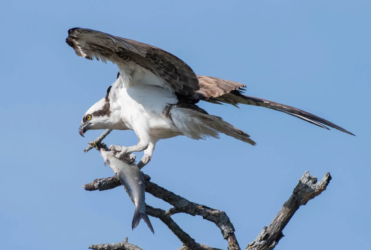 Photo · Bill Shreve / USFWS
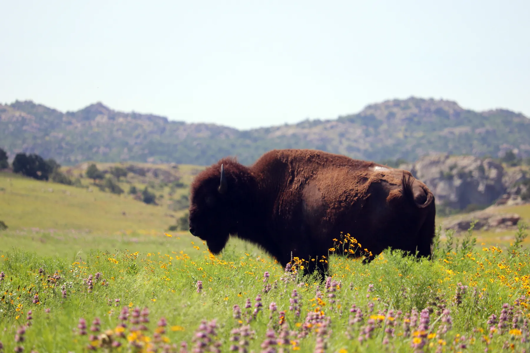 Photo · Quinton Smith / USFWS
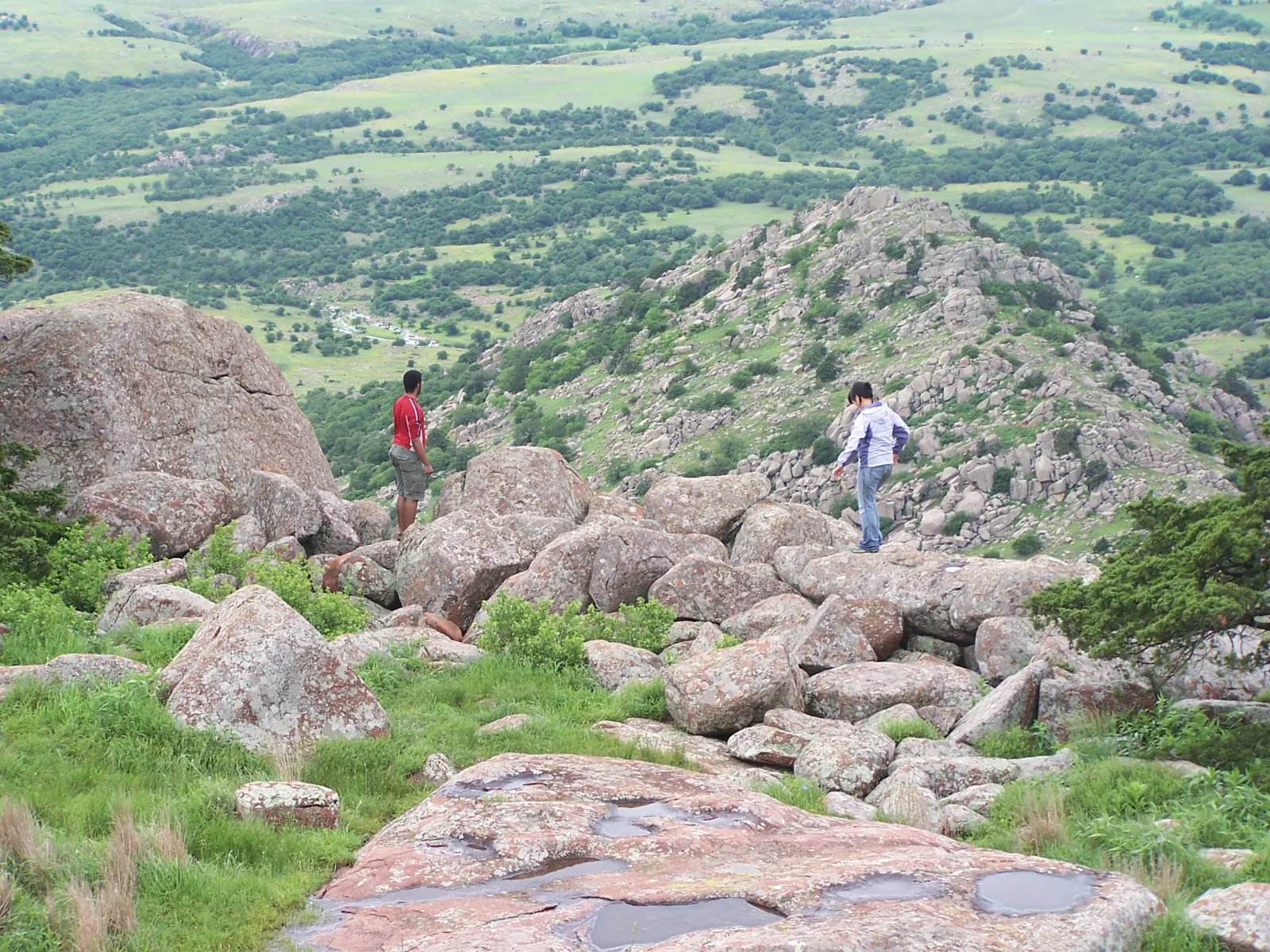 Photo · U.S. DOT / FHWA